
'Legendary' March storm brings record snow totals to Kentucky
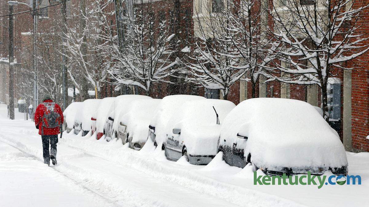
The snowfall that began Wednesday night and ended about midday Thursday was one for the history books. If the forecast for low temperatures is accurate, we might not be done with breaking records.
Consider: It was the heaviest two-day snowfall ever in Lexington.
The 17.1 inches that fell Wednesday night and Thursday surpassed the 13.5 inches that fell Jan. 13 and 14, 1917, and Jan. 26 and 27, 1943, the National Weather Service office in Louisville said.
Consider: It obliterated Lexington's previous record for a two-day March snowfall.
The previous record was 10.3 inches, set March 4 and 5, 1902.
"We smashed that," said Kevin Deitsch, a meteorologist with the National Weather Service Office in Louisville. Weather service records go back to 1872.
Note: Deitsch is talking about snowfall, not snow depth. What's the difference?
"Especially in cases like this, where we have this fluffy snow, quite often you can get more snowfall than snow depth," he said. "So say 10 inches fall, but you go out to measure it and it compacts on itself. So when you measure it, it may be 9 inches."
So the 17.1 inches that fell in Lexington resulted in 15 inches on the ground at 1 p.m. Thursday, the weather service said.
Another note: Yes, 17.4 inches fell in 1998, but that was over three days, not two, WKYT chief meteorologist Chris Bailey said.
"So basically in a little under 17 hours, we just about eclipsed the all-time snowstorm record that took three days to set," Bailey said. "So we were getting a little over an inch of snow an hour."
So far this winter, Lexington has had 40 inches of snow.
"That is the fifth-snowiest winter ever in Lexington," Bailey said. "And we could still add to that."
This week's snow comes on the heels of a 10-inch snow depth recorded last month. Which prompts a question: Has there ever been a winter with two double-digit snows in Lexington?
"We've never had that before," Deitsch said. "That would be a record as well."
Deitsch said he and others at the National Weather Service weren't surprised by the amount that fell.
"We knew there was going to be a substantial band that set up," he said. "The problem with these bands is exactly where they set up and how efficient they are in dropping snow. These amounts were more than we forecast, but it didn't necessarily surprise us."
Blame the jet stream for the copious amount of snow.
"There was a really strong system, a really strong jet stream that caused this, that set up in the perfect spot just north of us," Deitsch said. "It happened to keep this snow training over the same areas for an extended period of time.
"That's what was impressive. You had an inch or inch-and-a-half rates for eight, nine, 10 hours, and that adds up pretty quickly."
The greatest snow depth recorded in Kentucky on Thursday was 25 inches near Radcliff in Hardin County. A trained spotter there said that after several measurements in several places, the average came to 25 inches.
Meanwhile, Lexington has a chance to set the all-time record low temperature for March, Bailey said.
His forecast called for a low of minus 6 degrees Thursday night and Friday morning. The record low for March 6 was set in 1960, when it was minus 2 degrees.
"We could blow that away in the morning," Bailey said. "This is legendary. We've done this in such a short period of time."
This story was originally published March 5, 2015 at 12:05 PM with the headline "'Legendary' March storm brings record snow totals to Kentucky."