It’s still hot, but cooler temps will kick off August in Central KY
Hold out for just one more day, Central Kentucky.
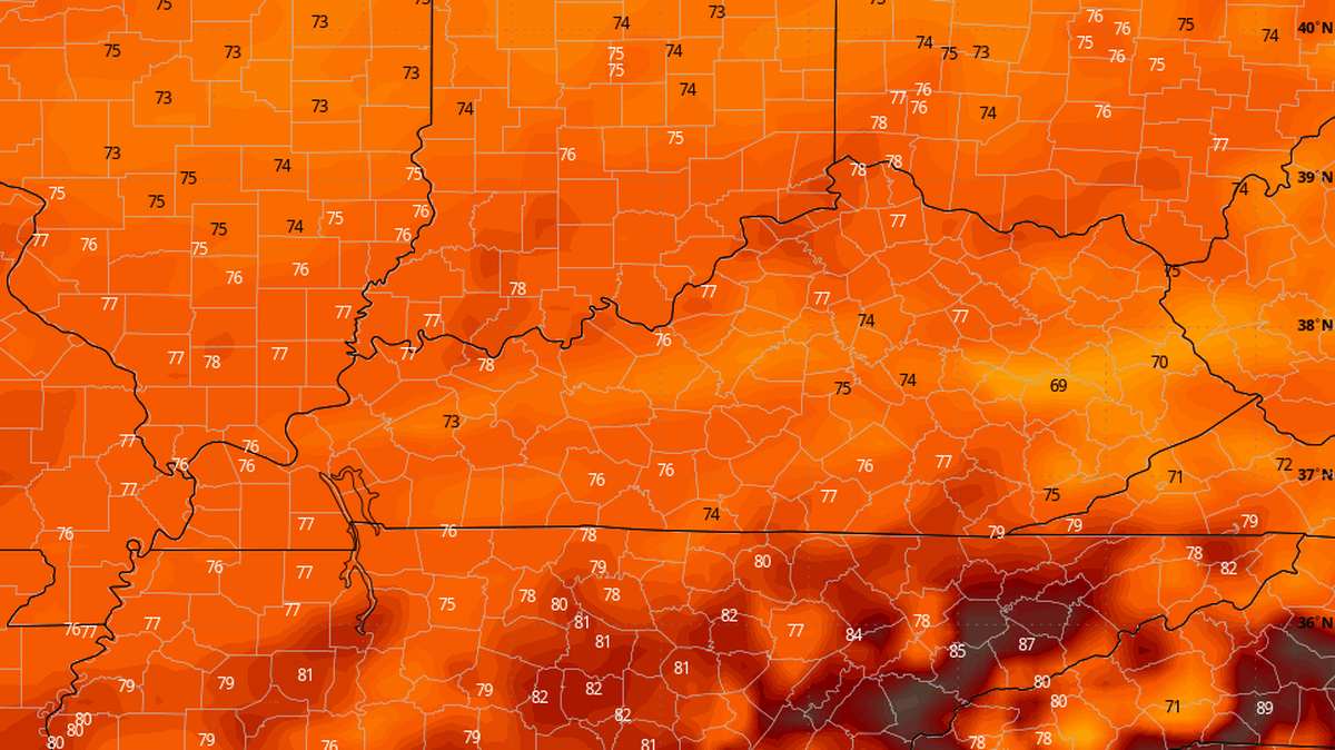
Temperatures across the region are likely to be the hottest they’ve been all summer Wednesday but the weather pattern will cool off as we welcome August.
A heat wave has been concentrated in the area in the past week, said WKYT Chief Meteorologist Chris Bailey in a July 30 blog post. The National Weather Service’s heat advisory for Fayette and surrounding counties remains in effect as heat index values climb past 100 degrees for the seventh straight day.
It will likely be between 90 and 95 degrees across Kentucky Wednesday with humidity making it feel at least five degrees hotter.
But as isolated storms roll into Western and some parts of Northern Kentucky during the late afternoon, it will bring a cold front, Bailey predicts, including temperatures about 20 degrees cooler than they are now.
“The air coming in behind this is flat out awesome and well below normal start to August,” Bailey said in the blog post. “Normal highs are generally near 90 for this time of year, but many locations may not get out of the 70s for Friday... Lows by Saturday morning may be deep into the 50s.”
The cooler temperatures are a result of high pressure coming from Canada that’s pushing a cold front ahead of it, according to Mary Gilbert, a CNN meteorologist.
“It isn’t unheard of to have a handful of cooler days in the latter part of summer, but the upcoming change will feel especially jarring given how hot previous weeks have been,” Gilbert said in a report.
Gilbert said the dramatic cooldown will also create a higher likelihood of rain and thunderstorms for the Midwest, Ohio River valley and upper South. And the cooler conditions won’t last long as humid air from the Gulf will slice into the high pressure system mid next week.
.JPG)