Central Kentucky sees heavy snowfall Sunday as state grapples with flooding fallout
READ MORE
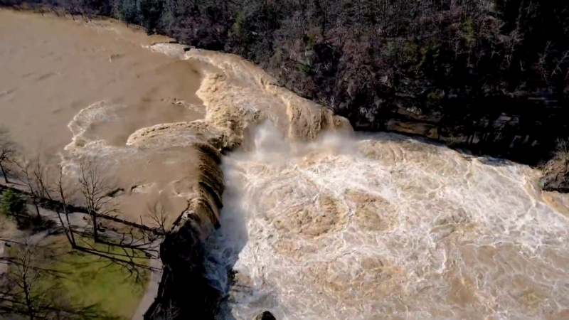
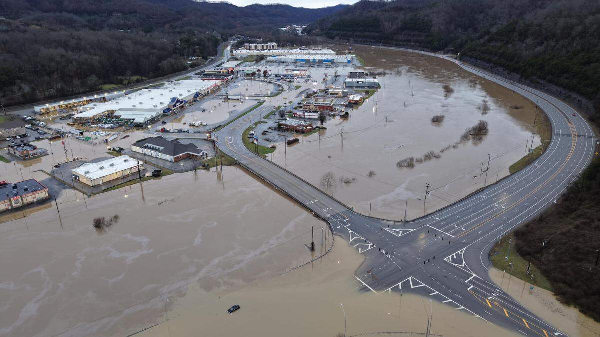
Eastern KY suffers massive flooding
Raging flood waters over the weekend, and severe cold weather, have claimed the lives of 14 people across Kentucky.
Expand All
Another round of winter weather is affecting Lexington and Central Kentucky, as dropping temperatures turned rain into snowy, slick conditions on Sunday morning.
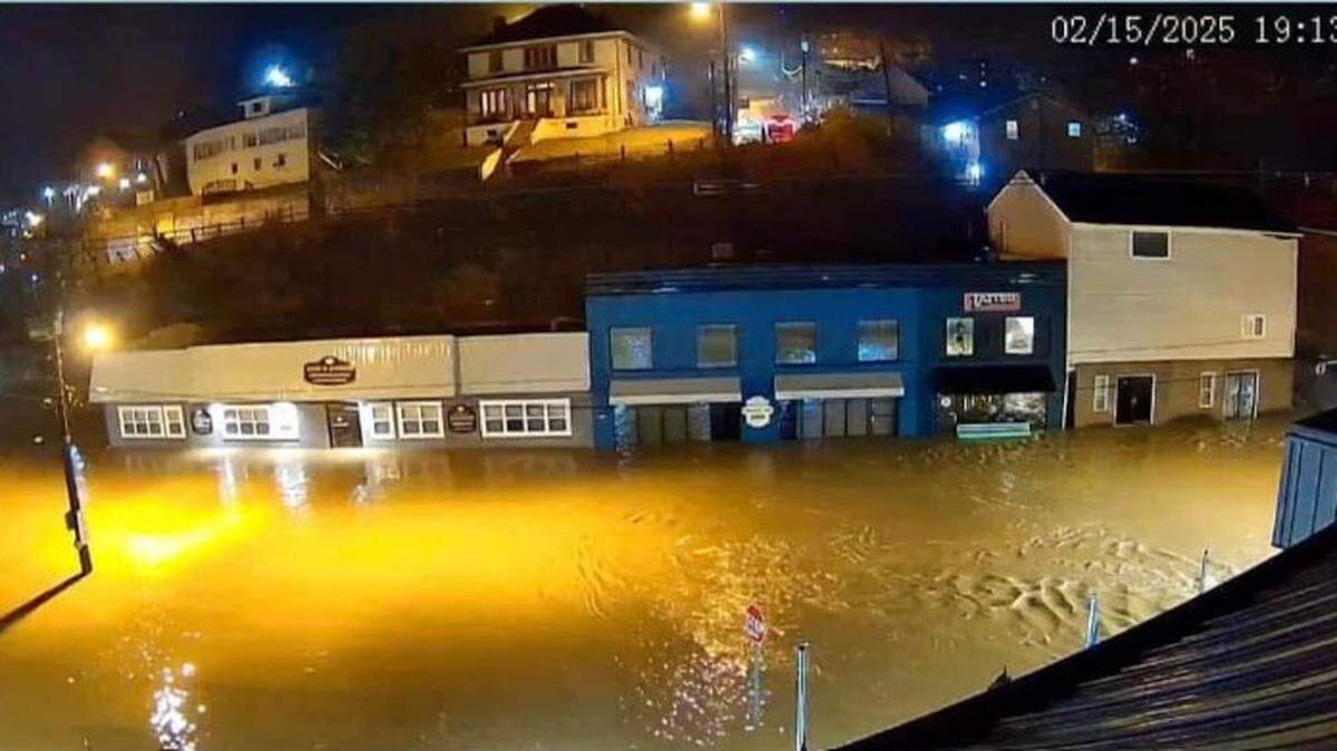
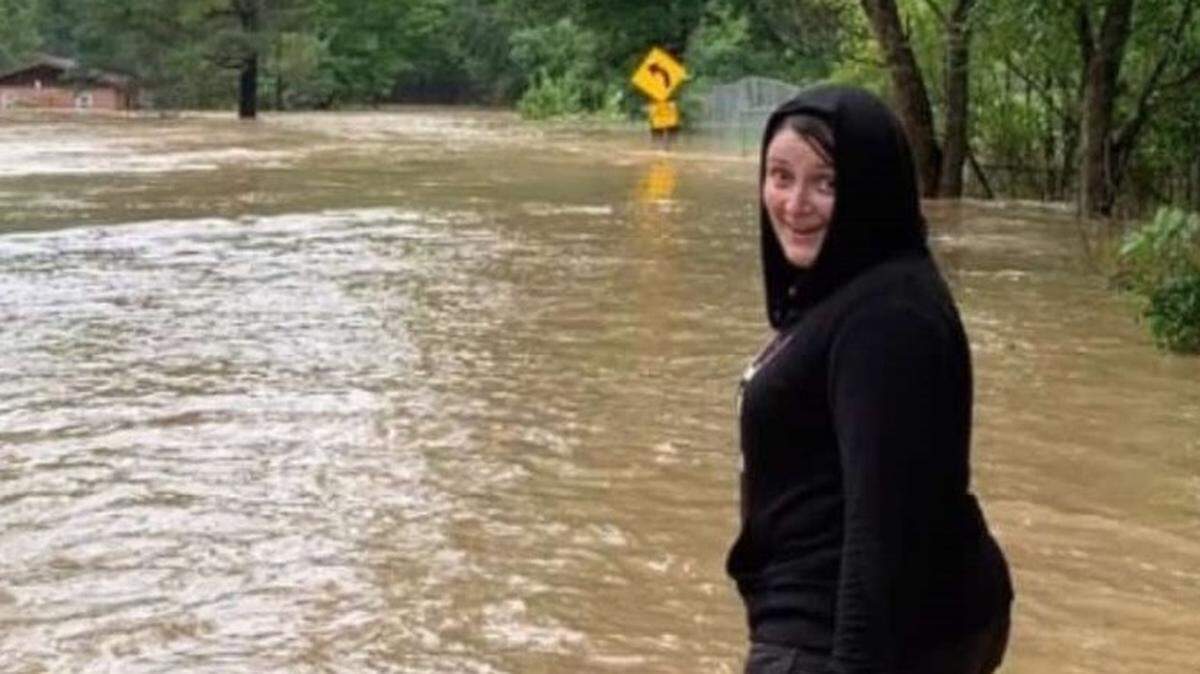
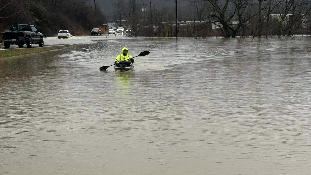
After nonstop rain Saturday, a flood watch was issued for most of Kentucky, and several parts of the state saw severe flooding.
But temperatures dropped overnight and into Sunday morning, resulting in a winter weather advisory for most of the state until 6 p.m. Sunday, according to the National Weather Service.
Rain quickly changed to freezing rain and snow Sunday morning.
Total snow accumulation is expected to be between 1-2 inches for most of the central and northeastern parts of the state, with wind gusts up to 40 miles per hour. On Sunday morning, roads were slick and wind gusts resulted in low visibility, leading to dangerous driving conditions.
The wind gusts combined with freezing weather pose a risk of downed trees, limbs and power lines, Gov. Andy Beshear said at a press conference Sunday afternoon.
“We expect isolated tree damage, uproots and power outages because of the wind, and it’s going to get even more complicated,” Beshear said.
Slippery road conditions are expected to continue, with the temperature hovering around freezing for much of the day, the National Weather Service said. Kentucky residents were encouraged to stay home as winter weather and flooding continued.
The chance of snow continues until midnight, with temperatures in the low 30s. Additional snow is expected Tuesday night into Wednesday, Beshear said, making recovery from flooding in the state more difficult.
“We’re going to get hit with more snow while we’re still dealing with this flood situation,” Beshear said. “It’s going to be significant in parts of the state.”
A winter storm watch was issued by the National Weather Service, lasting from Tuesday evening through Wednesday evening. Western Kentucky could see between 6-8 inches of snow on Tuesday night, with 4-6 inches predicted for Central Kentucky.
The winter weather comes after much of Kentucky was hit with heavy rain and flash flood warnings on Saturday, with some areas receiving up to six inches of rain, on top of previous rainfall earlier in the week. Beshear declared a state of emergency on Friday in anticipation of severe flooding, and President Donald Trump made an emergency disaster declaration Sunday morning.
Eastern Kentucky, in particular, was impacted by flooding throughout the weekend.
Eight deaths were reported as a result of the flooding — in Hart, Clay, Pike, Washington and Nelson counties — and hundreds of roads were closed.
This story was originally published February 16, 2025 at 10:58 AM.