‘Don’t let your guard down.’ Forecast softens some, but Beshear still sounds alarm
READ MORE
Lexington prepares for winter storm
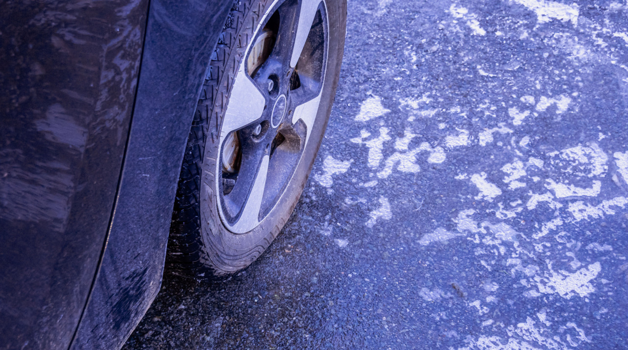
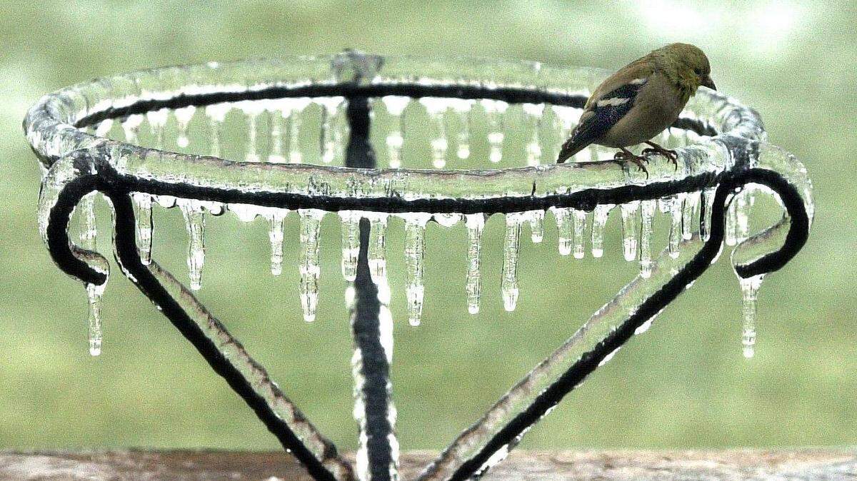
Approximately 0.25-0.5 inches of ice is expected to blanket Lexington as well as parts of western and northern Kentucky.
Expand All
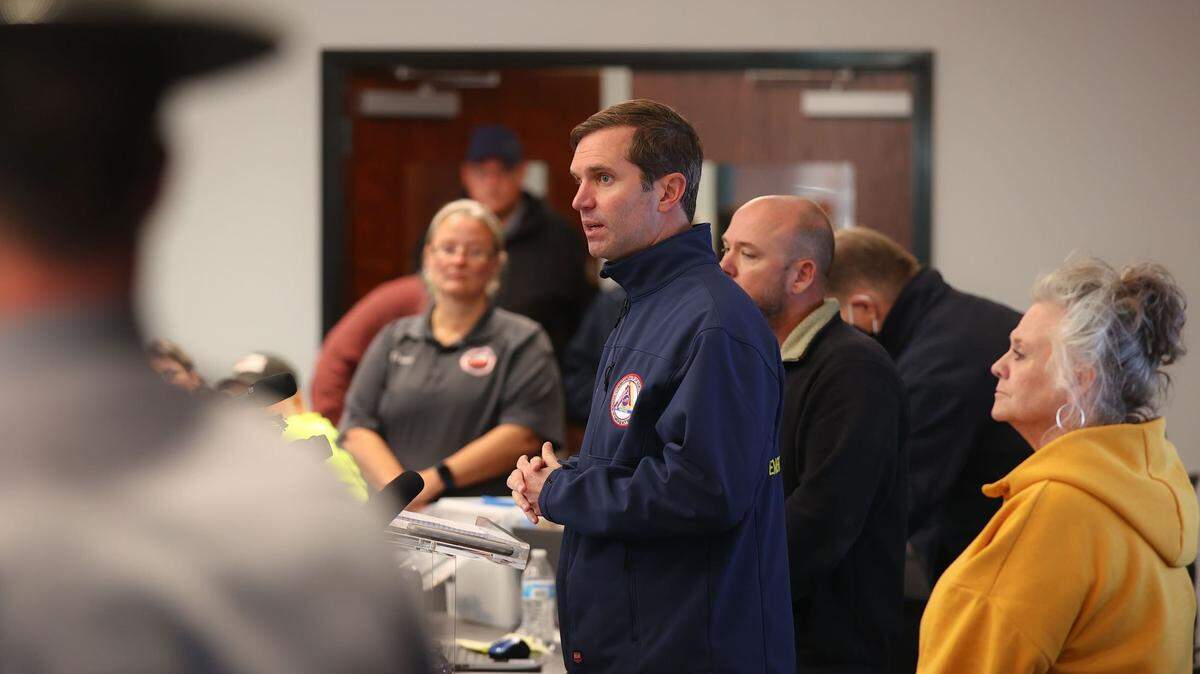
Forecasts for the ice storm that’s already coated much of Kentucky have improved somewhat, but Gov. Andy Beshear is still sounding the alarm over the event expected to continue well into Friday.
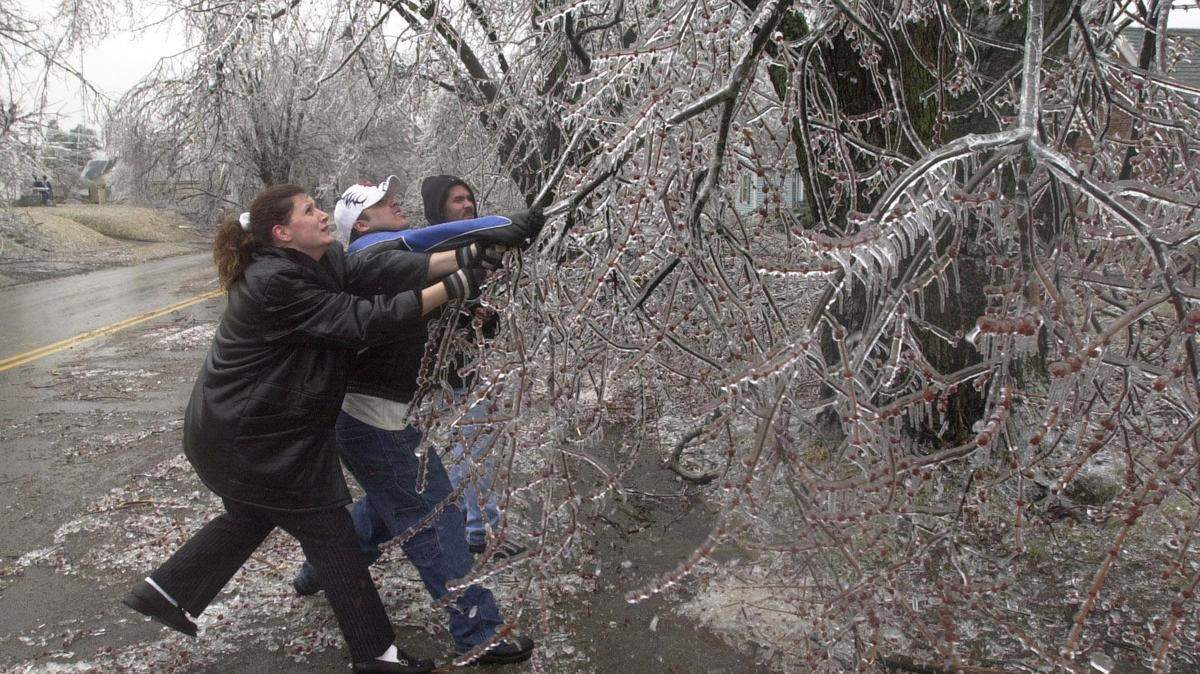
Ice accumulation projections have gone down somewhat, about 0.25-0.5 inches in most of Central Kentucky with accumulations of up to 0.75 inches.
“Any icing is bad icing,” Kentucky Emergency Management Director Michael Dossett said. “This can still turn into an extreme event and it can still be a life-threatening event.”
Forecasts for parts of Eastern Kentucky have also shifted; flooding is now expected there instead of ice, Beshear said. The region has been wracked by floods in recent years. Flooding is also expected in South Central Kentucky, particularly along the Green River basin, Beshear said.
Beshear said that the storm would “certainly” not become as bad as the state’s infamous 2009 ice storm, but that “this is still a severe weather event that could cause significant harm.”
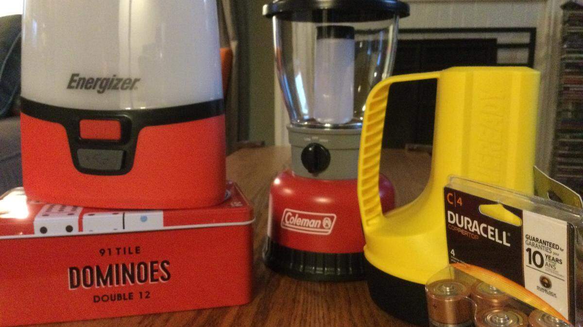
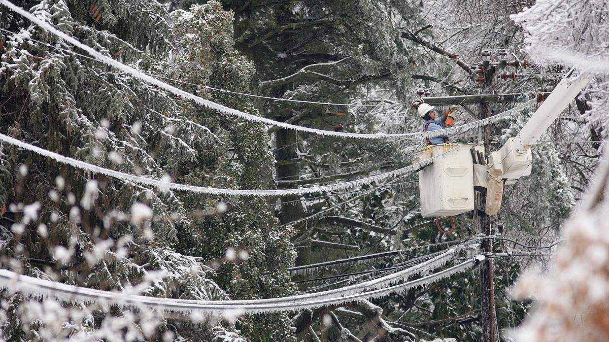
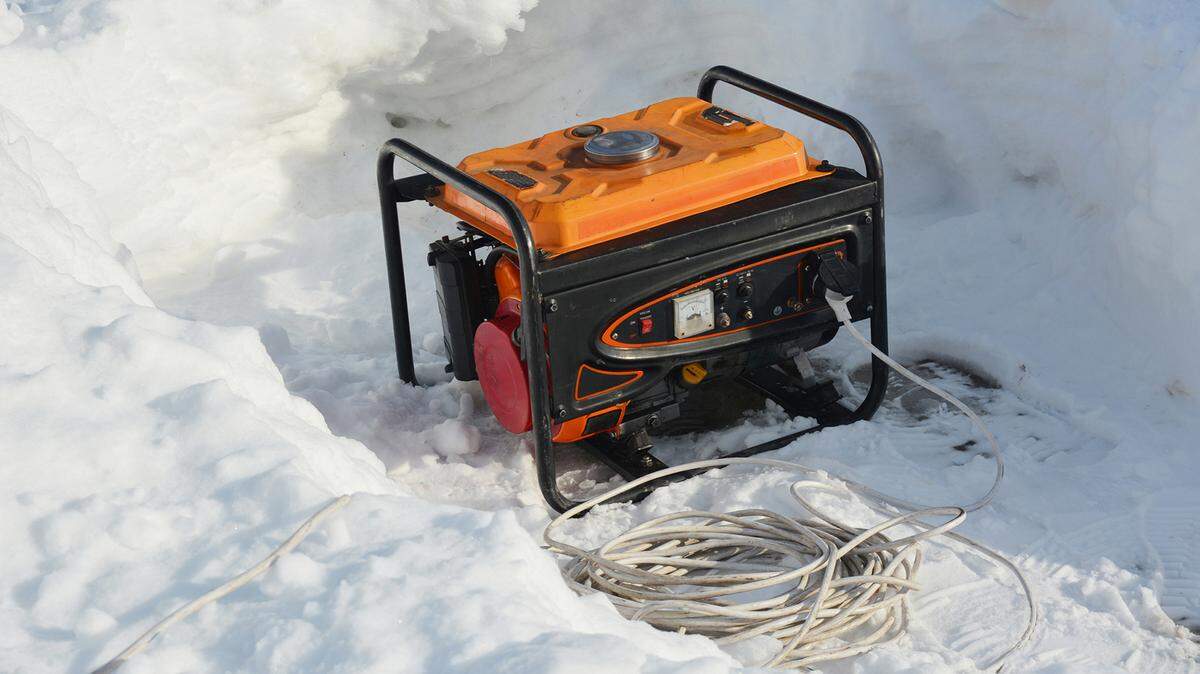
Already 4,000 homes were without power in the state as of Thursday afternoon due to the storm. Beshear said that it wasn’t possible to guess at how many people would lose power as a result of the storm, but said that his office would monitor the situation closely and that people should be prepared for loss of power.
26 warming stations across the state are at the ready, Beshear said, with one already open.
Beshear called the past couple months an “unprecedented” surge of severe weather in the state. He said it was more than even Dossett, who’s been with emergency management for 30 years, can remember.
“We are seeing more weather events in a short period of time than any of us can recall,” Beshear said. “… It’s unprecedented. And then the nature of them is unprecedented also. It takes a toll on you emotionally, but it also hits everybody.”
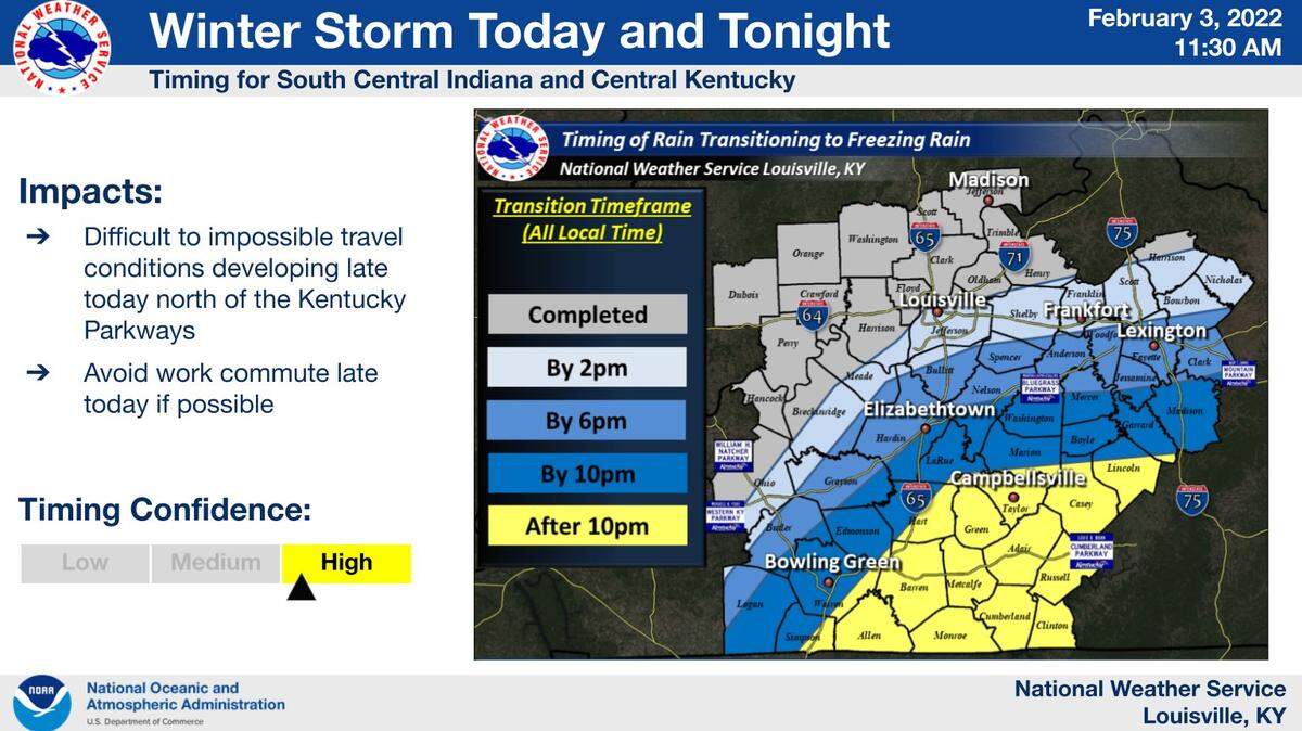
The “area of most concern,” Beshear said, runs from the entire Purchase area, up through Louisville to Frankfort and Lexington, then down to Elizabethtown and portions of Warren County. A band from the Purchase along the Ohio River to Northern Kentucky expects at least a quarter inch of ice.
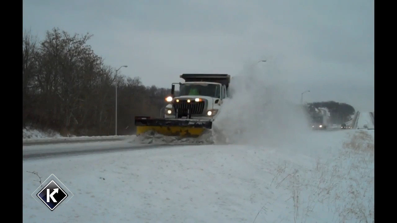
The system has already affected much of Western Kentucky, and was projected to creep into Central Kentucky from the North. It’s moving slower than first anticipated, Beshear said. That delay may cause road clearing efforts to take longer than first expected.
Rain was expected to transition into freezing rain in most of Fayette County by 6 p.m., with counties adjacent to the North getting freezing rain by 2 p.m.
The governor announced that state office buildings would be closed for a second day in a row in Friday due to the weather.
Kentucky Transportation Cabinet Secretary Jim Gray said that despite the somewhat milder forecast, ‘difficult to impossible’ travel conditions are still expected across many parts of the state.
This story was originally published February 3, 2022 at 1:50 PM.
.jpg)