Updated forecast: How much ice will Lexington get from winter storm? When?
READ MORE
Lexington prepares for winter storm
Approximately 0.25-0.5 inches of ice is expected to blanket Lexington as well as parts of western and northern Kentucky.
Expand All
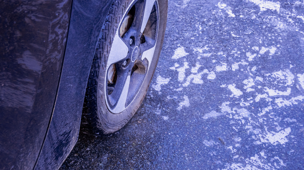
The latest winter storm is set to make an appearance in Lexington and Kentucky Thursday, bringing with it a plethora of ice, sleet and snow.
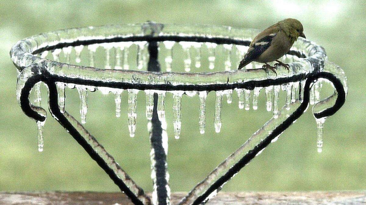
Approximately 0.25-0.5 inches of ice is expected to blanket Lexington as well as parts of western and northern Kentucky, according to the National Weather Service. Some parts could even see more than a half-inch of ice.
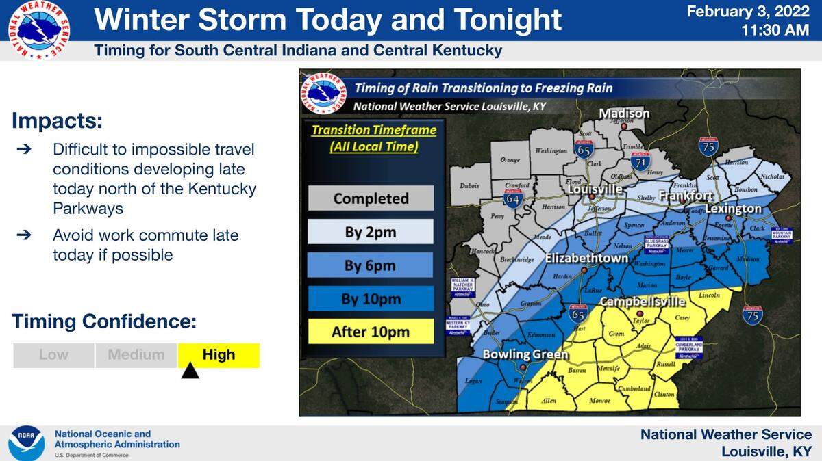
WKYT chief meteorologist Chris Bailey thinks a group of counties along the northwestern part of the Commonwealth, which includes Fayette, is at the greatest risk from the winter storm. He forecasts 0.33-1 inch of ice as well as an inch or two of sleet and snow to go with it.
The storm will transition from rain to freezing rain sometime early Thursday afternoon, according to NWS. The freezing rain/sleet is forecast to stay in the area until early Friday morning, which will be followed by a light snow for the rest of Friday morning.
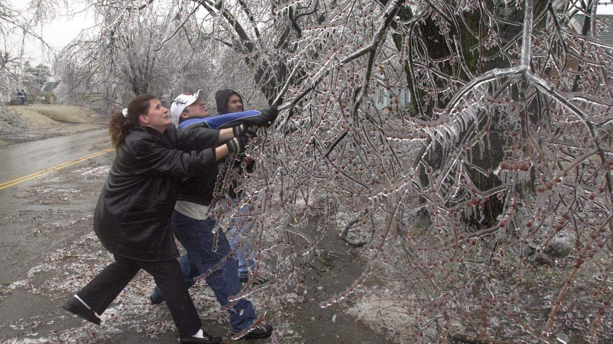
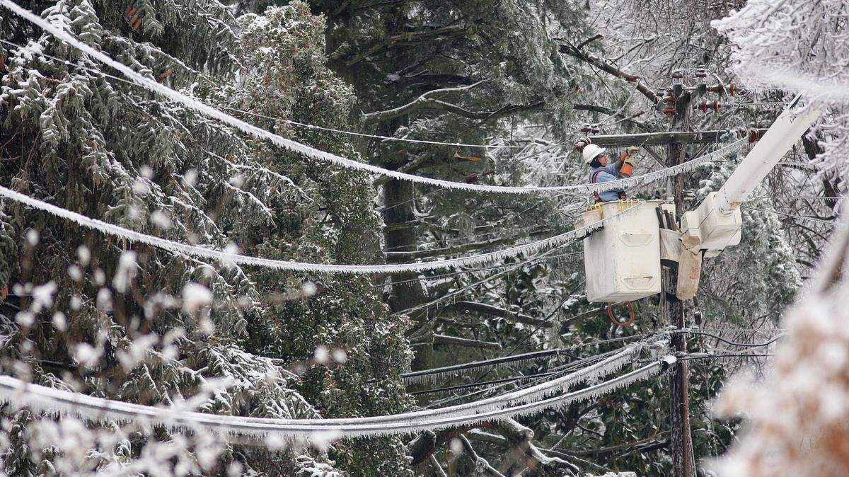
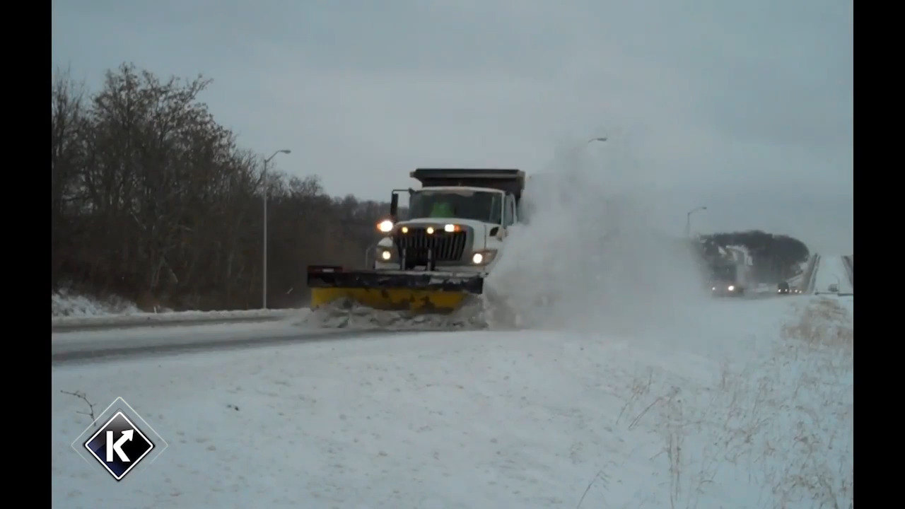
NWS has issued an ice storm warning that went into effect at 7 a.m. Thursday and will stay in place for 24 hours. NWS said significant icing is expected, which could potentially create scattered power outages, tree damage and extremely hazardous traveling conditions.
Several businesses and services have already taken action against the storm by closing their doors.
Gov. Andy Beshear declared a state of emergency Wednesday in preparation for the storm and Lexington city offices will remain closed and cancel garbage pickup for Thursday.
Fayette County Public Schools is using a non-traditional instruction day Thursday. The University of Kentucky and Transylvania University also canceled in-person classes.
This story was originally published February 3, 2022 at 7:52 AM.


.jpg)