As forecast changes, Eastern Kentucky prepares for flooding during statewide storm
READ MORE
Lexington prepares for winter storm
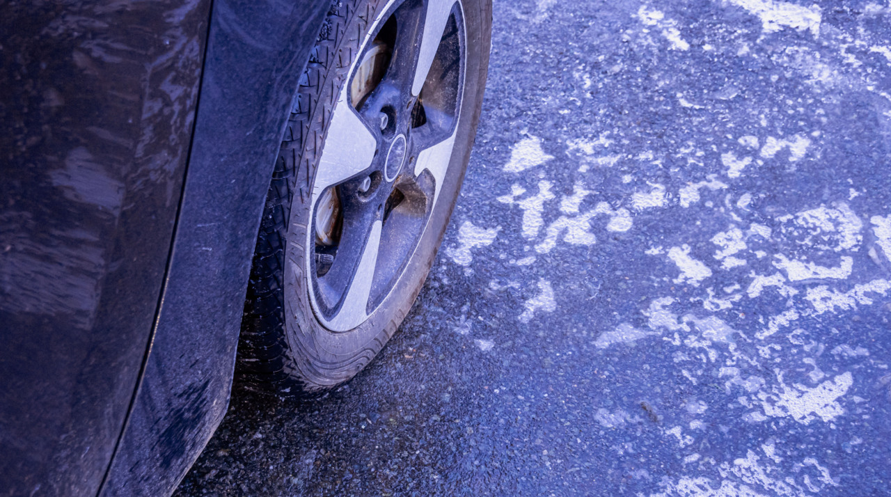
Approximately 0.25-0.5 inches of ice is expected to blanket Lexington as well as parts of western and northern Kentucky.
Expand All
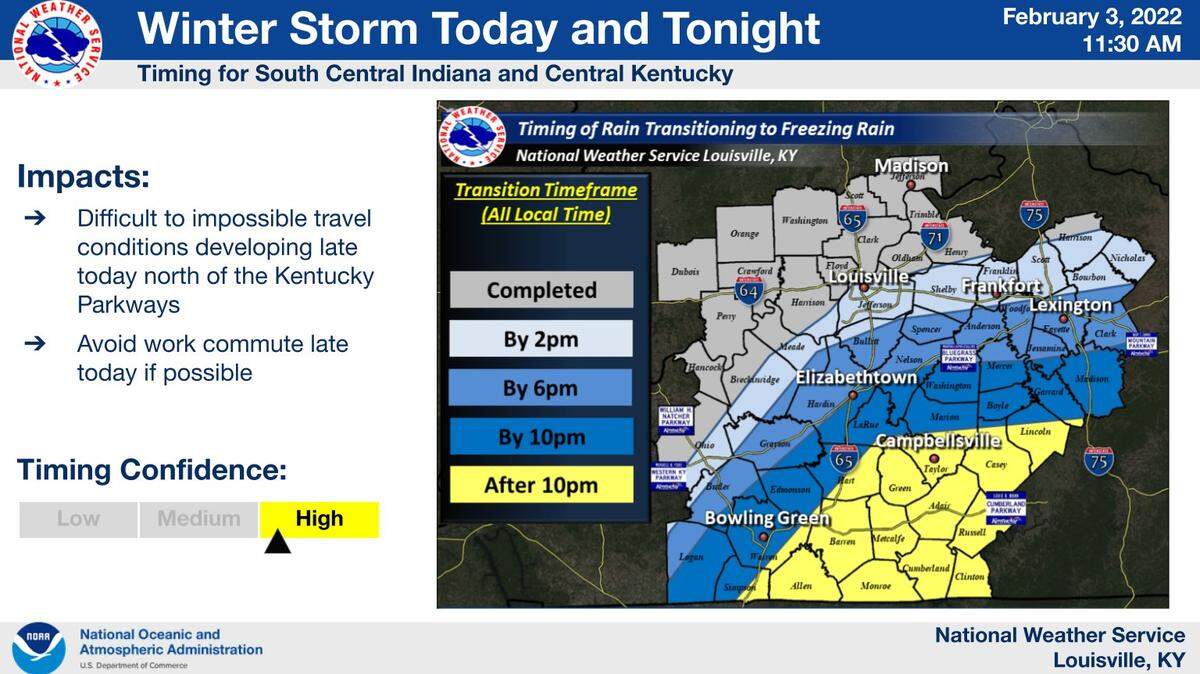
A changing forecast has led state officials to expect heavy rain and possibly flooding in Eastern Kentucky, as opposed to heavy ice accumulations which had previously been projected.
The National Weather Service in Jackson warned that moderate to heavy rain was expected to move into Eastern Kentucky Thursday evening, potentially bringing more than half an inch of rainfall per hour at times. The rain could cause “significant ponding of water” on roads. There is a widespread possibility of 1 to 2 inches of rain falling through Friday morning. Some areas could see up to 3 inches.
Local flooding is likely to occur, according to the National Weather Service. River flooding may occur along some parts of the Kentucky, Cumberland and Red rivers. The threat of flash flooding is “minimal, but cannot be entirely ruled out,” the National Weather Service said.
In addition to flooding possibilities in Eastern Kentucky, the National Weather Service issued a flood advisory Thursday evening for Central Kentucky counties too. Anderson, Bourbon, Clark, Fayette, Franklin, Garrard, Harrison, Jessamine, Madison, Mercer, Nicholas, Scott and Woodford counties were under the advisory until 8:45 p.m. Thursday.
Gov. Andy Beshear on Thursday warned that flooding was possible based on the updated forecast.
“You will be facing a different type of emergency, most likely,” he said of Eastern Kentucky. “This is still a significant weather event for all of Kentucky, even if what you are going to get, depending on your region, is a little different.”
Temperatures in Eastern Kentucky were expected to dip below freezing Thursday night. The high temperatures Friday were expected to get up to 35 degrees, according to the National Weather Service.
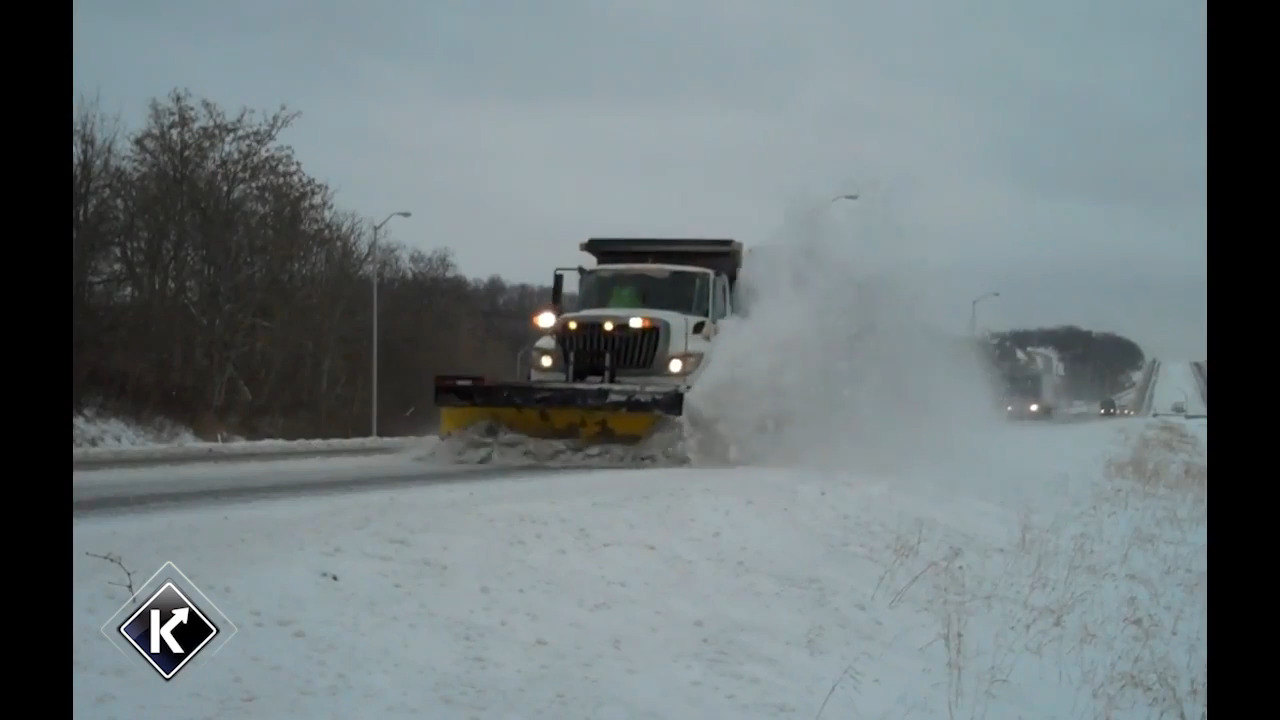
With falling temperatures, ice was still expected to accumulate in Eastern Kentucky. The rain and sleet combination was expected to make roads hazardous because it makes it harder for crews to treat roads, Beshear said.
This story was originally published February 3, 2022 at 6:13 PM.

.jpg)