Eastern Kentucky forecaster calls flash flooding ‘unprecedented,’ predicts more rain
READ MORE
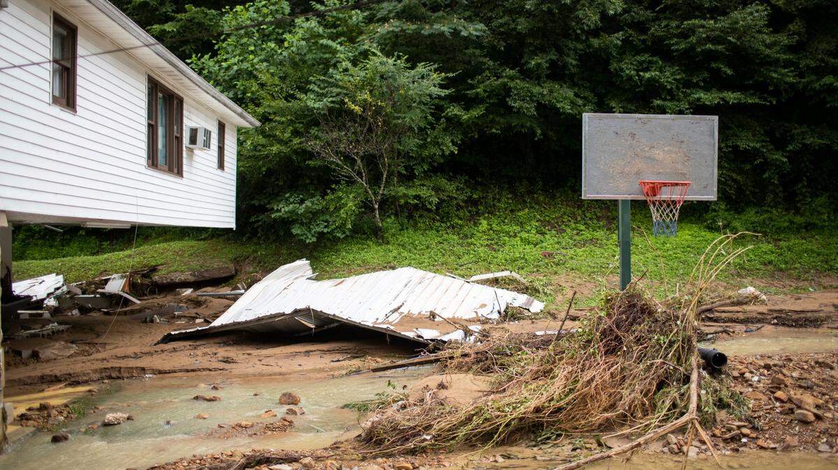
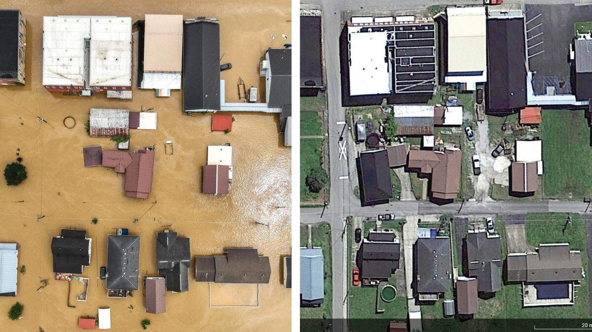
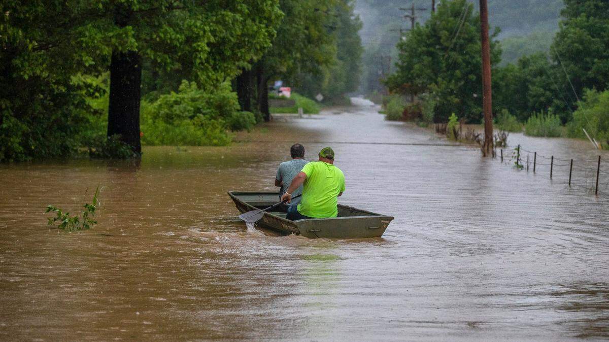
Flooding in Eastern Kentucky
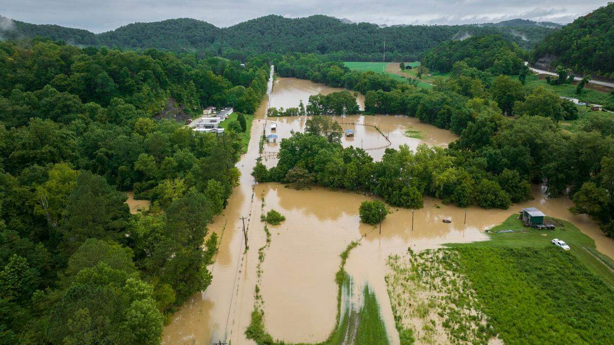
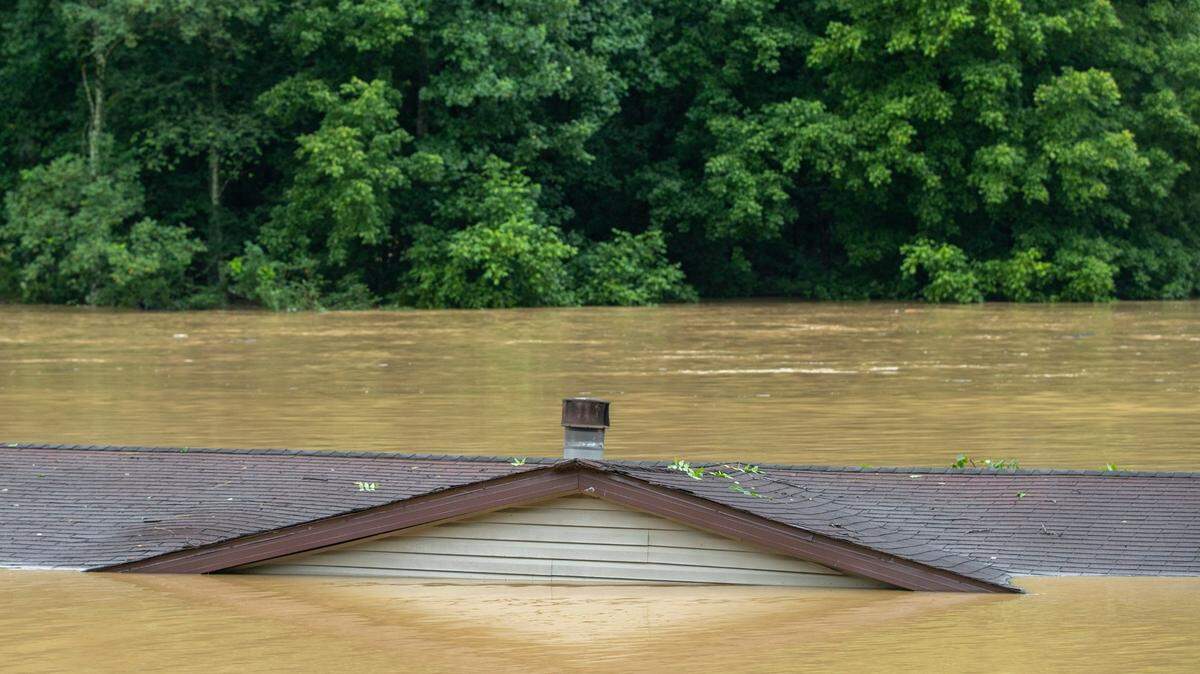
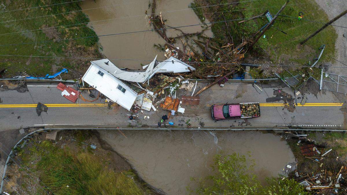
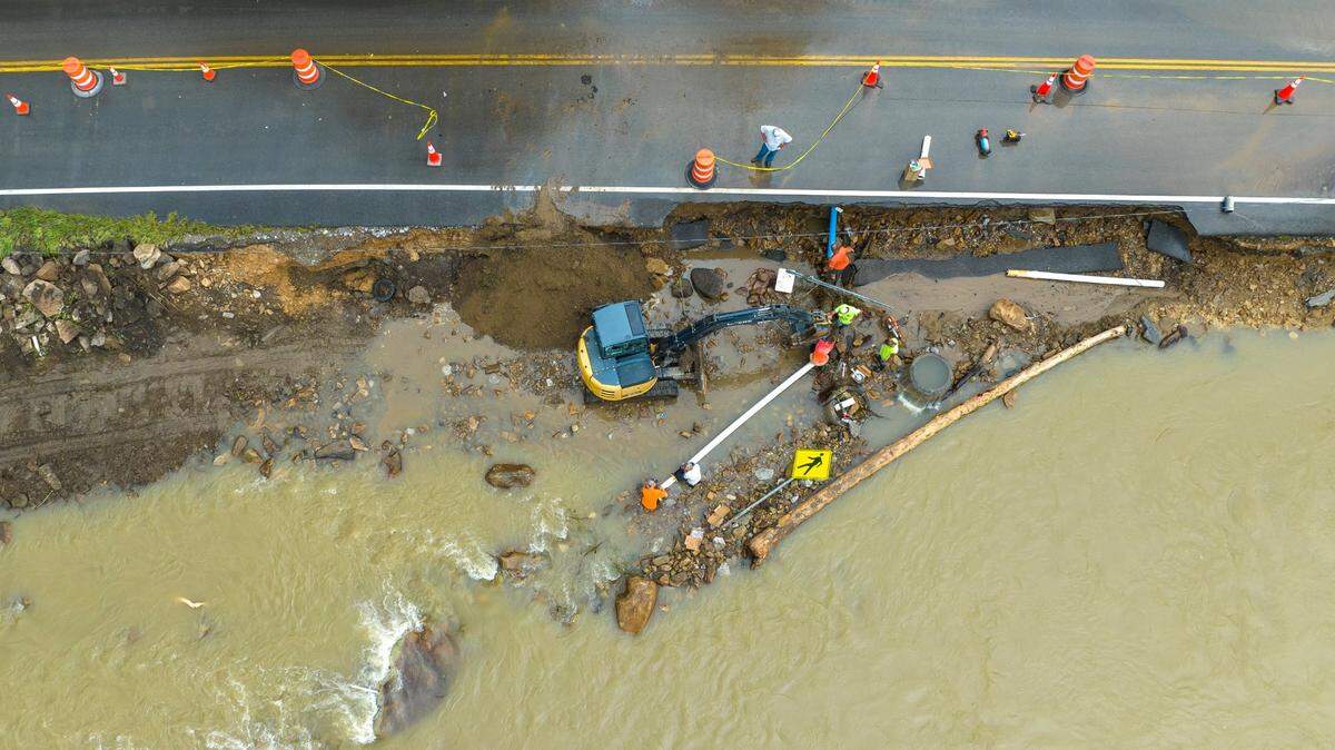
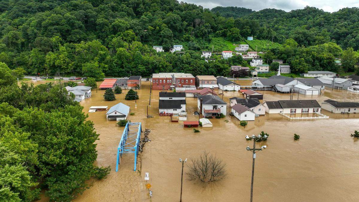
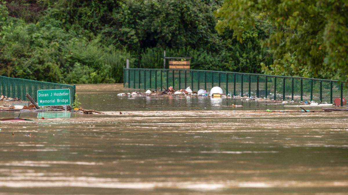
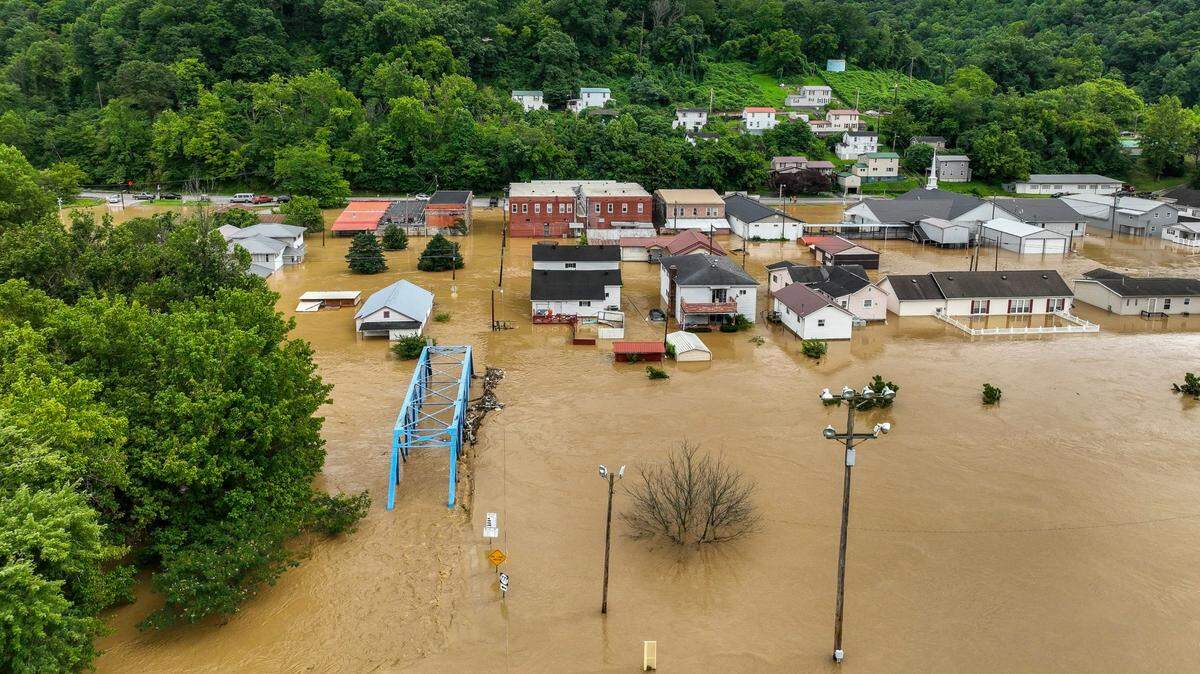
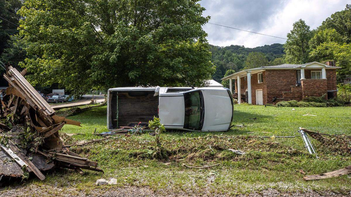
“Catastrophic” flash flooding hit parts of Eastern Kentucky July 28, 2022.
Expand All
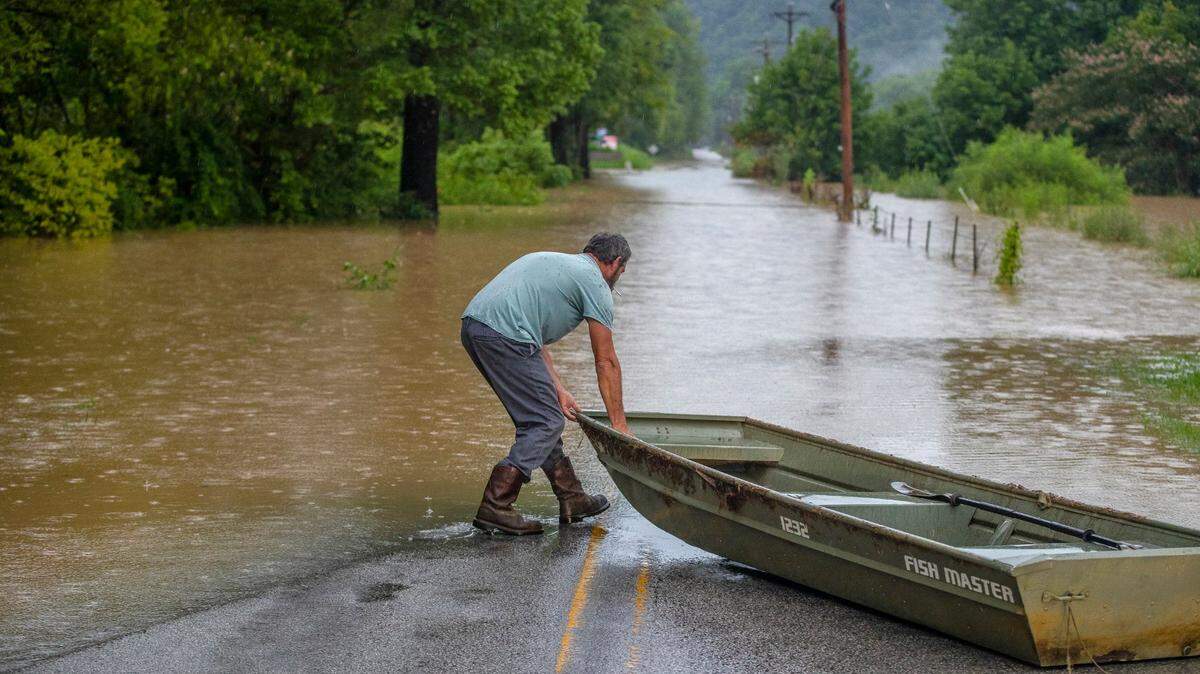
The flash flooding that has trapped southeast Kentuckians in their homes and left hundreds without power showed no signs of cresting Thursday morning, according to Gov. Andy Beshear.
On the ground in Jackson, the seat of Breathitt County, National Weather Service meteorologist Dustin Jordan was boxed in, along with his other colleagues, at the office.
Nearby Quicksand Creek had flooded, and there was no way for him to leave, though Jordan was safe on high ground, he told the Herald-Leader in an interview. The forecasters were expecting more rain.
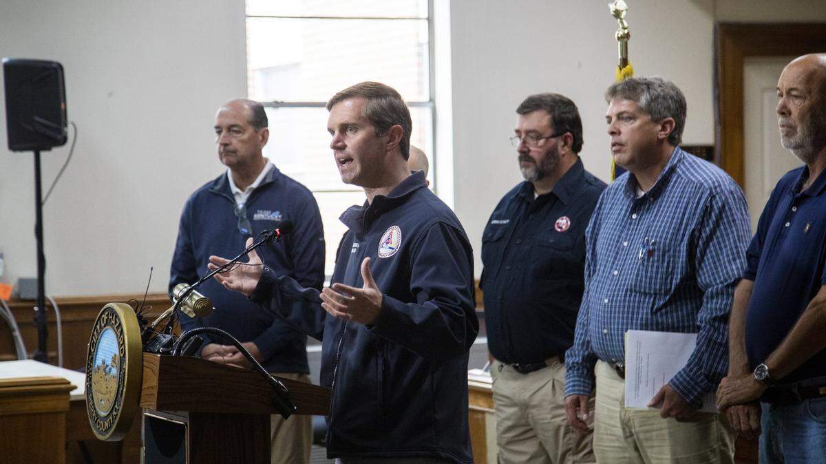
Thursday morning, Beshear declared a state of emergency and activated the Kentucky National Guard in response to “one of the worst flooding events” in the state’s history.
Earlier Thursday, there was flooding reported in several southeast Kentucky counties, including Breathitt, Floyd, Perry, Knott, Leslie, Pike and Magoffin.
“We’re here,” Jordan said. “We’re not going to be able to get out.”
Eastern Kentucky has been lashed by rain in the past few days, and Jordan said 5 to 10 inches had fallen in the region in the previous two to three days.
Buckhorn Lake in particular, about an hour south of Jackson, got 8 inches in the last 24 hours alone.
Jordan expected the rainfall to lessen over the course of the day Thursday, but another round would begin that night and linger into Friday, possibly adding 1 to 2 additional inches.
“This could make rivers rise once again,” Jordan said.
For a detailed look at which river points are currently at or near the flood stage, Jordan recommended visiting the National Weather Service’s Advanced Hydrologic Prediction Service available online..
Breathitt and Knott counties appeared to be the hardest hit from his vantage point, Jordan said.
Figures from the Kentucky Mesonet, a statewide network of weather stations, tracked at least 3.37 inches of rainfall since midnight at a location in Breathitt County, according to a previous Herald-Leader report.
Jordan said it’s safe to consider this level of rainfall unusual for the region this time of year, although the area is known to have flooding issues.
Creeks and streams are as high as they’ve ever been, Jordan continued, and the national Weather Prediction Center had put the region at a moderate risk for flooding.
“It’s pretty unprecedented,” Jordan said.
Jordan asked the public to heed forecasters’ warnings, listen to authorities and to have a plan to deal in place to deal with the disaster.
This story may be updated.
Do you have a question about weather in Kentucky for our service journalism team? We’d like to hear from you. Fill out our Know Your Kentucky form or email ask@herald-leader.com.
This story was originally published July 28, 2022 at 11:37 AM.


.png)