What is thundersnow? Winter Storm Blair could bring uncommon occurrence to Kentucky
READ MORE
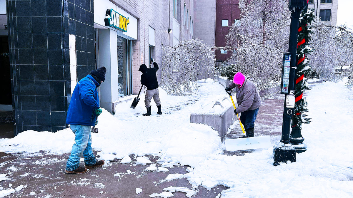
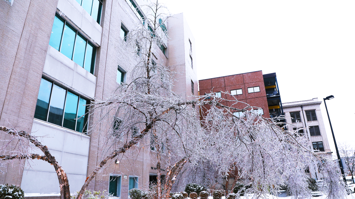
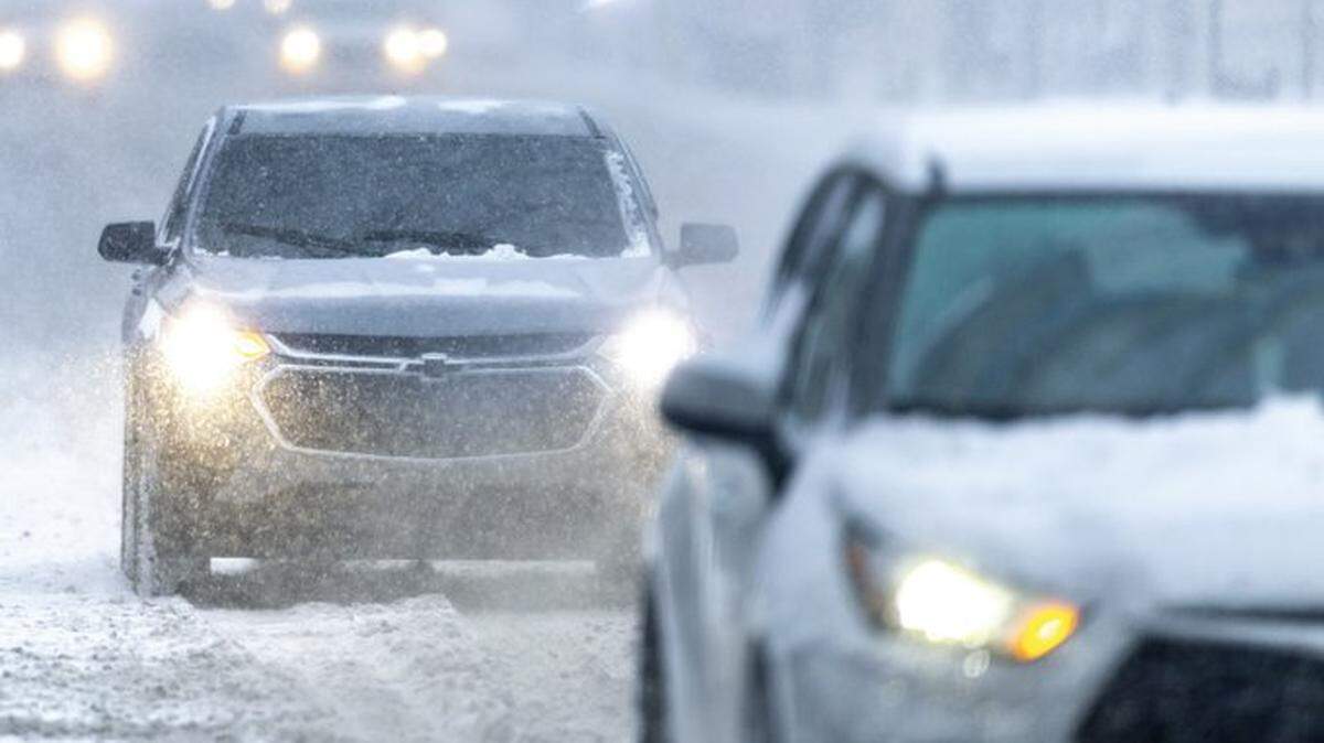
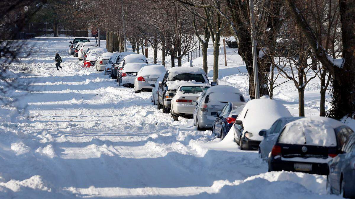
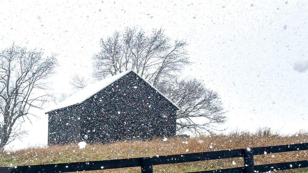
Kentucky is hit with significant winter storm
The National Weather Service has issued a winter storm watch for many areas of the state.
Expand All
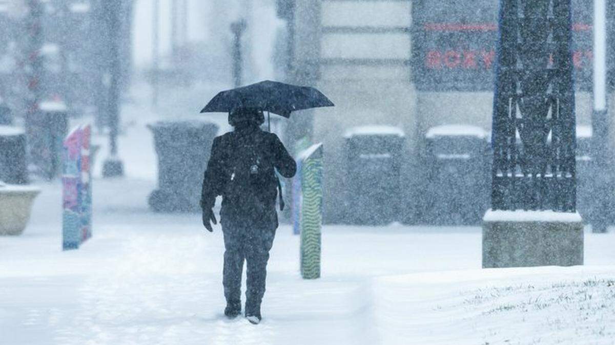
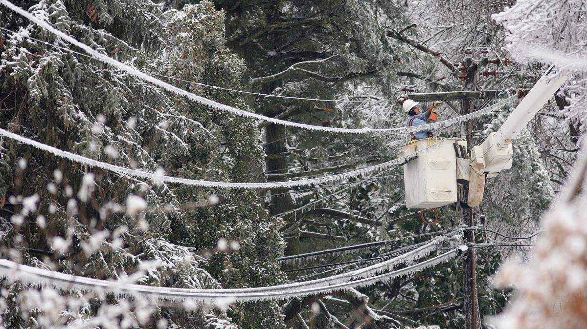
Forecasters say Winter Storm Blair, blanketing much of Kentucky Sunday afternoon with thick snow ahead of sleet and ice, could also bring thundersnow.
Thundersnow is not a common occurrence in winter storms. As its name would suggest, thundersnow occurs when lightning happens within a snowstorm, according to the National Weather Service.
Warm, moist air must interact with cold, dry air for thundersnow, according to The Weather Channel. That creates instability, and when ice crystals collide with each other, it creates an electrical charge strong enough to produce lightning.
Thunderstorms rarely happen during the winter, but when strong instability and abundant moisture are present above the surface, it can create adequate conditions for thundersnow. The NWS said it’s sometimes seen downstream of the Great Salt Lake and the Great Lakes during lake-effect snowstorms.
At 3:25 a.m. Sunday, NWS Louisville forecasters said thundersnow and thunder freezing rain have been observed in central and eastern Kansas. Weather Channel meteorologist Jim Cantore captured a clip of the thundersnow in Kansas City Sunday morning, and the channel also reported thundersnow in Washington, D.C., Friday.
There’s a possibility thundersnow could make an appearance in Kentucky Sunday afternoon, but no lightning strikes have been recorded east of the Mississippi River for several hours, as of 1:56 p.m. There have been reports of thundersnow in western Kentucky, but those reports have not been confirmed by the NWS.
At 4:07 p.m., NWS meteorologists said a pocket of warm and moist air had generated flashes of lightning in the storm. As a result, the efficiency of sleet/freezing rain accumulation in the afternoon will decrease, but there is no significant change in the impact of the accumulation.
“Based on upstream reports and lightning data, we can’t rule out thunder and lightning with wintry precipitation, especially along and west of I-65, or within the heavy snow band,” the NWS said in the area forecast discussion.
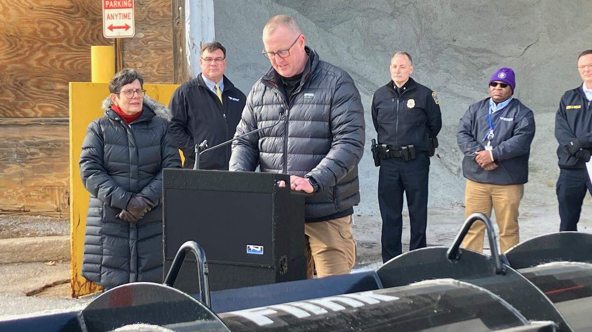
Gov. Andy Beshear declared a state of emergency in advance of the storm Saturday afternoon. Multiple Kentucky school districts have already have canceled in-person classes Monday.
The latest forecast from the NWS has much of the state under a winter storm warning through 7 p.m. Monday.
This story was originally published January 5, 2025 at 2:22 PM.