Frigid temperatures here to stay in KY. And don’t look now, but more snow may be coming.
READ MORE
Kentucky is hit with significant winter storm
The National Weather Service has issued a winter storm watch for many areas of the state.
Expand All
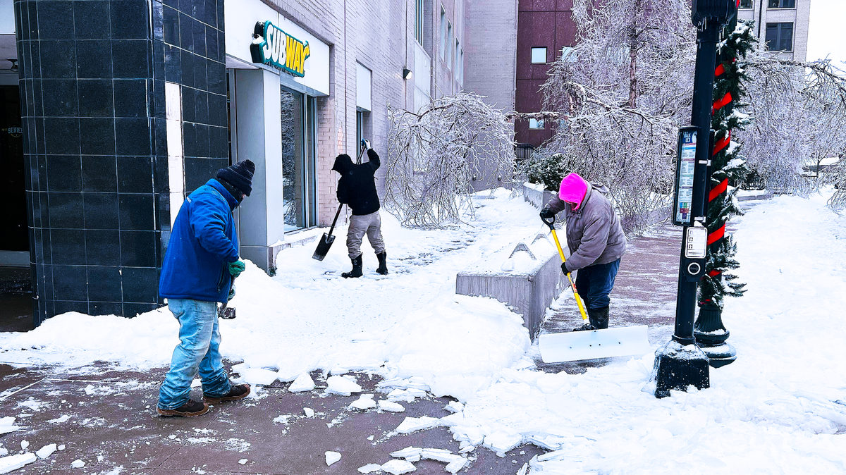
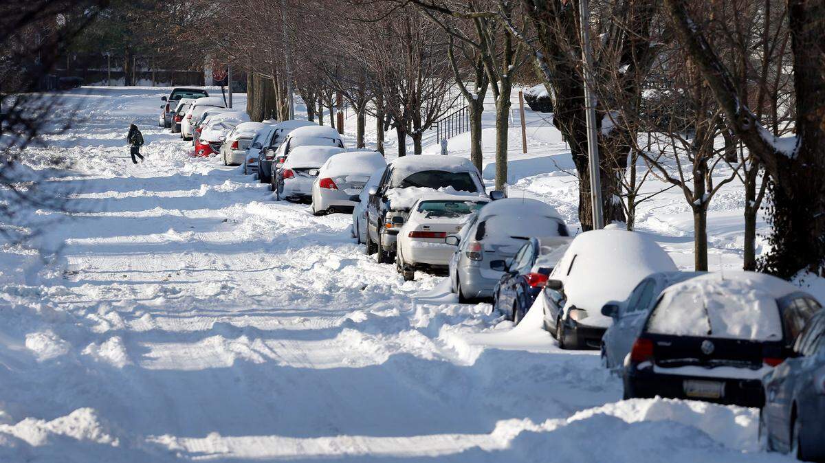
As Kentucky hunkers down in the aftermath of Winter Storm Blair, another round of cold weather and snow is on the way later this week.
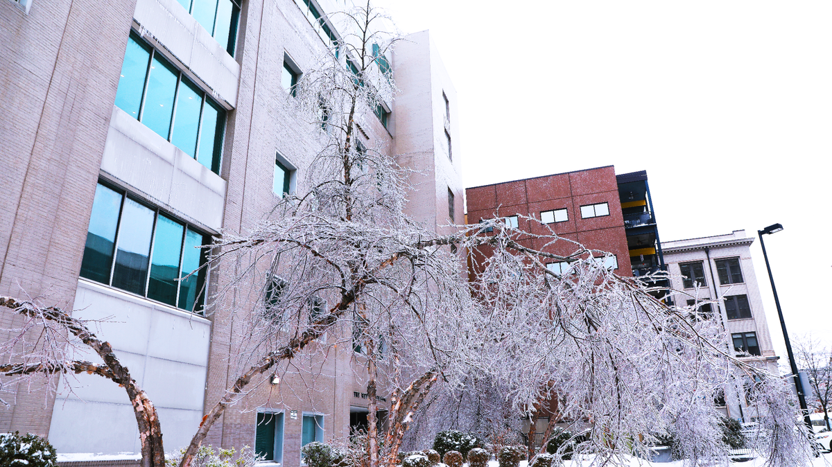
Below-freezing temperatures are expected to persist, with temperatures hovering in the upper 20s through the end of the week. Friday and Saturday could bring additional snow and freezing rain to the region. Gov. Andy Beshear declared a state of emergency ahead of the storm this weekend, and Mayor Linda Gorton declared a state of emergency in Lexington.
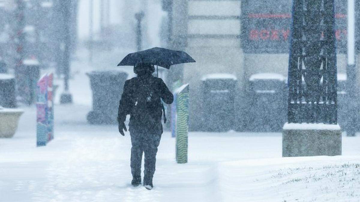
“The most important thing that people can do today is to stay home and to stay safe, to let us do as much work as possible to let us clear as many roads, to let us treat the roads with salt, to let us deal with the one to three inches of snow that’s expected throughout the rest of the day, and to let the utility companies restore power to as many people as possible,” Beshear said Monday.
Additional snow is expected Monday, atop the several inches of snow and ice Kentucky received Sunday.
A winter storm warning remains in effect until 7 p.m. Monday. The National Weather Service’s forecast for Lexington said snow and freezing rain would shift to all snow Monday afternoon. By the time precipitation stops later Monday, the region is expected to receive another quarter-inch of ice and an additional 1 to 2 inches of snow. Wind gusts as high as 30 mph are also possible.
The temperature is not expected to get above freezing through the rest of the week, with partly cloudy skies and windy conditions, according to the National Weather Service on Monday morning. Temperatures are expected to drop into the single digits over the next few nights, with the wind chill dipping into the negative towards the end of the week.
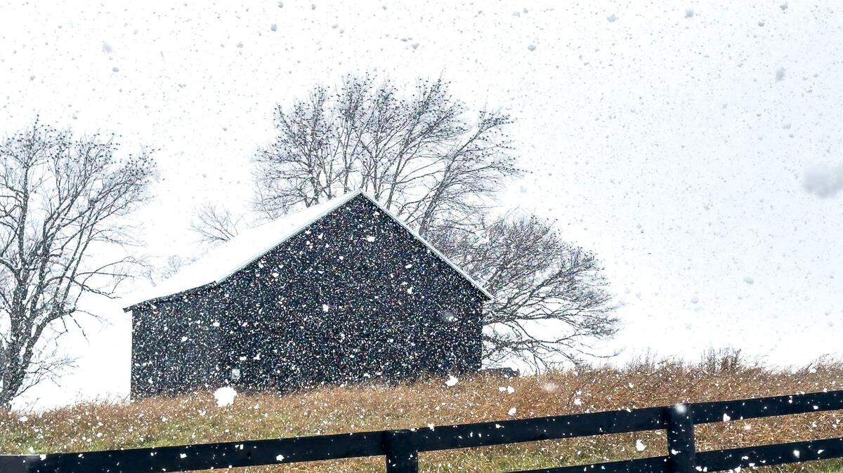
The weekend brings another chance of snow and ice: There’s a 50% chance of snow showers on Friday and Saturday, with a 20% chance of freezing rain and snow showers on Sunday, according to the National Weather Service.
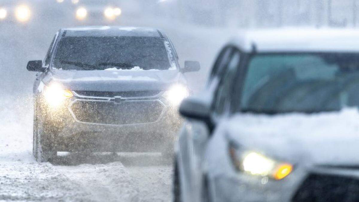
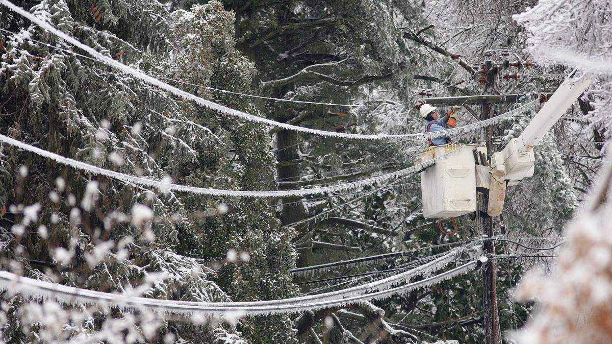
Beshear encouraged Kentuckians to stay home because of unsafe driving conditions and to give crews a chance to clear the roads before the deep freeze sets in in the next 24 hours. More than 87,000 Kentuckians were without power on Monday morning, according to PowerOutage.us, which tracks outages across the nation.
“This is a significant snow and ice event, so the roadways are still dangerous,” Beshear said. “You might be able to see the pavement, but that doesn’t mean it’s not slick.”
This story was originally published January 6, 2025 at 11:19 AM.