Siberian arctic blast to sweep the country. Could Kentucky see subzero temperatures?
READ MORE
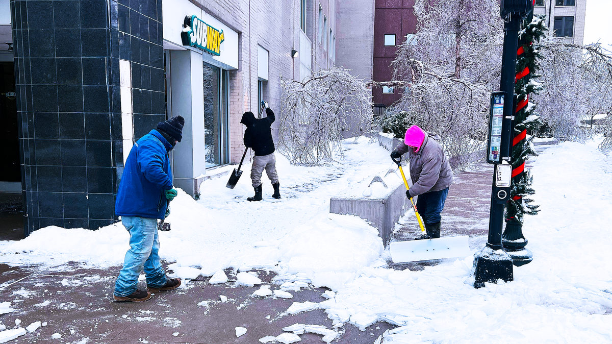
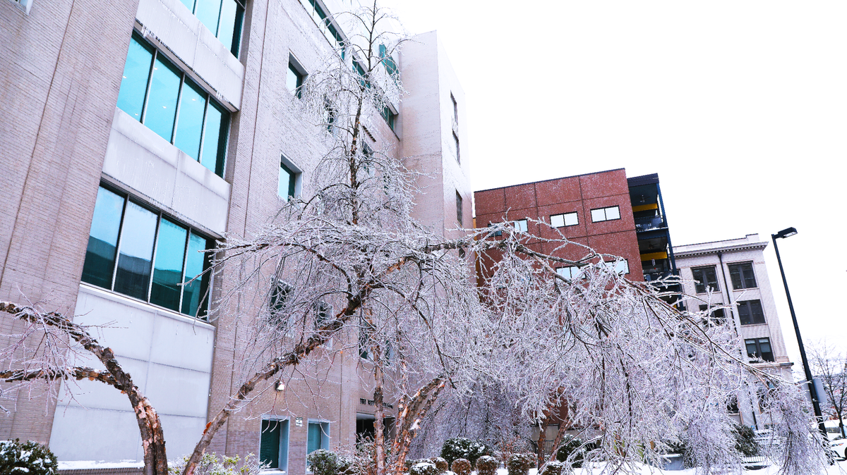
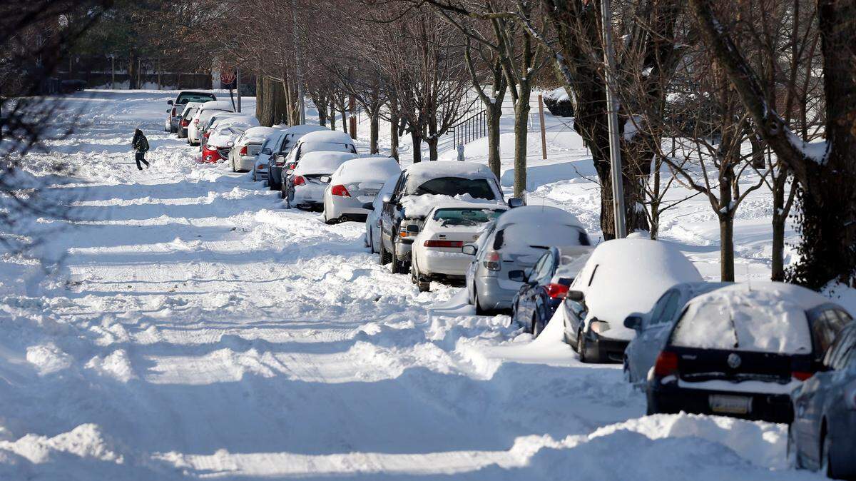
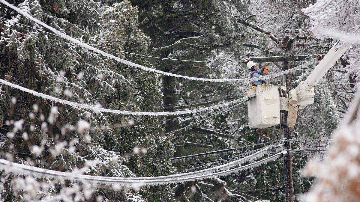
Kentucky is hit with significant winter storm
The National Weather Service has issued a winter storm watch for many areas of the state.
Expand All
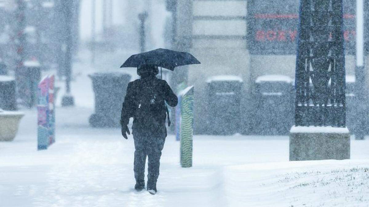
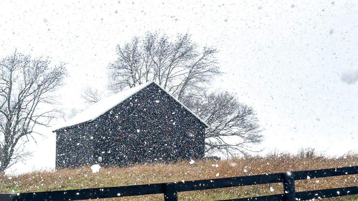
Wednesday marks the start of 2025, and there’s a chance New Year’s Day will see flurries and light snowfall in Lexington, but it’s all just a prelude compared to the winter storm meteorologists are watching for early next week.
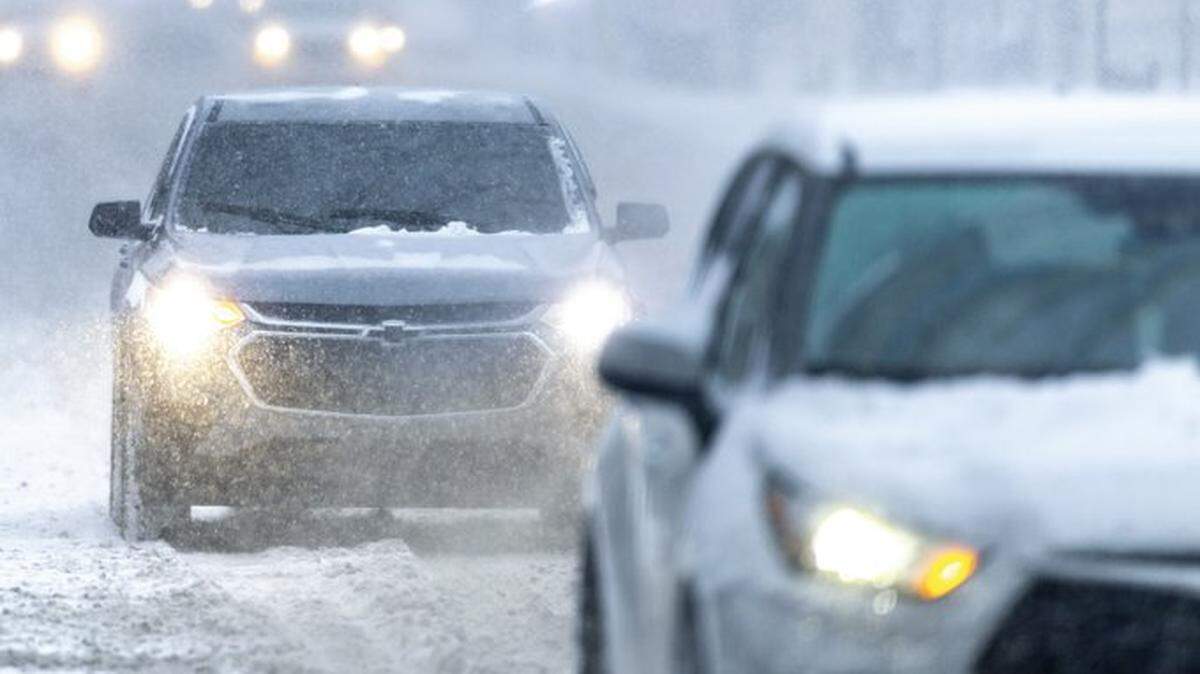
As explained in a report from the Washington Post Tuesday, Dec. 31, a mass of air from Siberia is expected to send temperatures plummeting this week and even lower the next. More than 30 states across the country could experience subzero temperatures. It’s uncertain whether that will include Kentucky, but some meteorologists are forecasting weekend wind chills near zero for the area.
As of Tuesday, a hazardous weather outlook from the National Weather Service in Louisville called for a light dusting of snow the morning of Friday, Jan. 3 across Central Kentucky. That’s to be followed by a possible winter storm system arriving in the region between Sunday, Jan. 5 and Monday, Jan. 6. Wintry precipitation, including freezing rain, may be in play, the NWS warned.
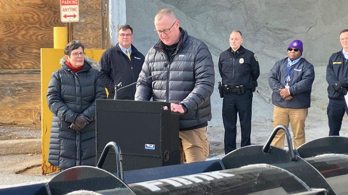
Here’s a look at what to expect and how to prepare, with insights from the NWS and WKYT chief meteorologist Chris Bailey.
What we know about the arctic blast in Kentucky
As of Tuesday afternoon, there weren’t many certainties about what the early half of next week could hold for Central Kentucky, but some meteorologists were upgrading their warnings.
“A significant winter storm will threaten our region during this time and may very well bring heavy amounts of snow and ice to this part of the world,” Bailey wrote in a Tuesday afternoon forecast.
Temperatures are expected to keep dropping as the week marches on, with lows falling into the teens this weekend, Kevin Farina, a forecaster for the NWS in Louisville told the Herald-Leader Tuesday.
Even a light layer of snow on the ground can make it feel colder because snow is highly reflective, bouncing away any warming rays from the sun that happen to reach the ground.
It will be even colder by the middle of next week, Farina said. Think 15 to 20 degrees colder.
Commuters should keep an eye on the forecast Sunday evening, given some nasty weather could arrive in time for rush hour Monday morning, Farina said.
If you’re light on winter clothing, now may be a good time to shop for hats and scarves. Keep your faucets running on a light drip to stop them from freezing during a cold spell.
Historic New Year’s Day weather
Wind and rain Tuesday set the stage for a New Year’s Day that could include light snow in Lexington. According to the weather service, here’s a look at how New Year’s Day 2025 compares to previous years in Fayette County:
Highest temperature: 71 degrees Fahrenheit in 1952
Highest average temperature: 62 degrees in 1876
Lowest temperature: minus 3 degrees in 1928
Lowest average temperature: minus 0.5 degrees in 1928
Wettest New Year’s Day: 2.27 inches in 2022
Snowiest: 5.6 inches in 1964
Deepest snow cover: 8 inches in 1968
Do you have questions about weather in Kentucky for our service journalism team? We want to help. Send an email to us at ask@herald-leader.com or submit them with the Know Your Kentucky form below.
This story was originally published January 1, 2025 at 6:00 AM.